
Fish monitoring
Technical fish monitoring is one of the core competencies of I AM HYDRO GmbH
Aquatic data
We offer various services in the field of surveying.
Consulting
I AM HYDRO GmbH is here to assist you with consulting and expertise!
Fish protection
Neptun
Low-voltage fish protection
I AM HYDRO is an internationally operating company with expertise in water-related data and is a pioneer in the field of drone-based remote sensing of water bodies. As questions and computer applications become increasingly complex, there is a continuous demand for improving the spatial and temporal resolution of the data used. Modern research methods or long-term monitoring require high and consistent data quality, which plays a crucial role in the quality of results. I AM HYDRO GmbH offers innovative measurement methods with state-of-the-art technology, enabling efficient work and a wide range of services and technology from a single source.

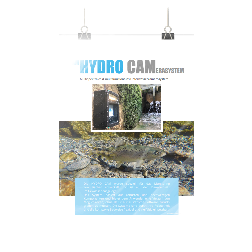
I AM HYDRO GmbH specializes in the collection of system-relevant data at water bodies and possesses state-of-the-art measurement equipment with which we collect data in the field. A selection of the services we offer can be found under ‘Services.’ Sample collection, surveying, individual measurements, and measurement campaigns are all part of our services, as well as the installation, maintenance, and support of technology such as measurement stations, camera systems, fish counters, and data loggers.
I AM HYDRO GmbH is a distribution and trading partner for various systems in the areas of fish monitoring, fish counting, fish protection, water quality, sensor technology, and measurement technology. We have also been actively involved in the development of systems for many years. Detailed descriptions of the products we distribute in the field of technology can be found on our website. Thanks to our extensive experience with various systems, we and the products we distribute are known for reliability even under continuous operation and user-friendly application.
Our consulting services in the field of land surveying and geospatial data analysis provide expert guidance. With a dedicated team of professionals and years of experience. I AM HYDRO is here to assist you in achieving your project objectives with utmost precision and accuracy.
I AM HYDRO GmbH is an internationally active company.
Since its establishment, we have been involved in numerous projects both domestically and abroad.
In this case, schedule a consultation, and we will address all your questions.